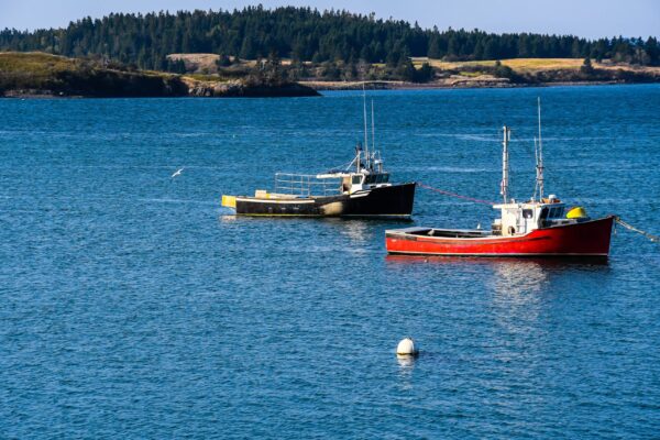
The Depoe Bay Chamber of Commerce and their division Discover Depoe Bay learnt that on 4th June 2020, Depoe Bay harbour was recognised as the best US port of 2020 according to US Harbor.com. Furthermore, this port was named the only one on the West Coast that was represented in the top 5. Voting took place in May, in which more than 5 million people participated, and there were 1,403 ports competing. Out of 786 different ports that were voted for in various American states, the greatest number of votes was cast for Depoe Bay. This review provides the history of Depoe Bay harbour, its features and significance, both for local residents and for the USA.
Depoe Bay Harbour – Home Base for US Coast Guard Crews
The harbour is located in a small town and here, in addition to US Coast Guard crews, local residents’ vessels are also based, and there is a training facility. Along the entire waterfront there are comfortable benches, information plaques, and the presence of a pedestrian bridge allows quick access to a large coastal park with gazebos, forest walking trails, picnic tables, and maritime-themed play equipment. Local residents have organised a volunteer centre, whose participants have installed appropriate water safety signs and prepared the necessary number of life jackets.
For several decades, the harbour has been the venue for numerous events: for example, Fleet of Flowers, Salmon Bake, Crab Feed, Wooden Boat Show and Ducky Derby. At the end of 2019, Depoe Bay was included in the Oregon Film Trail, and therefore markers were installed here in memory of the filming of “One Flew Over the Cuckoo’s Nest”. Near the Coast Guard station – on the harbour shore – is the popular Depoe Bay Community Hall.
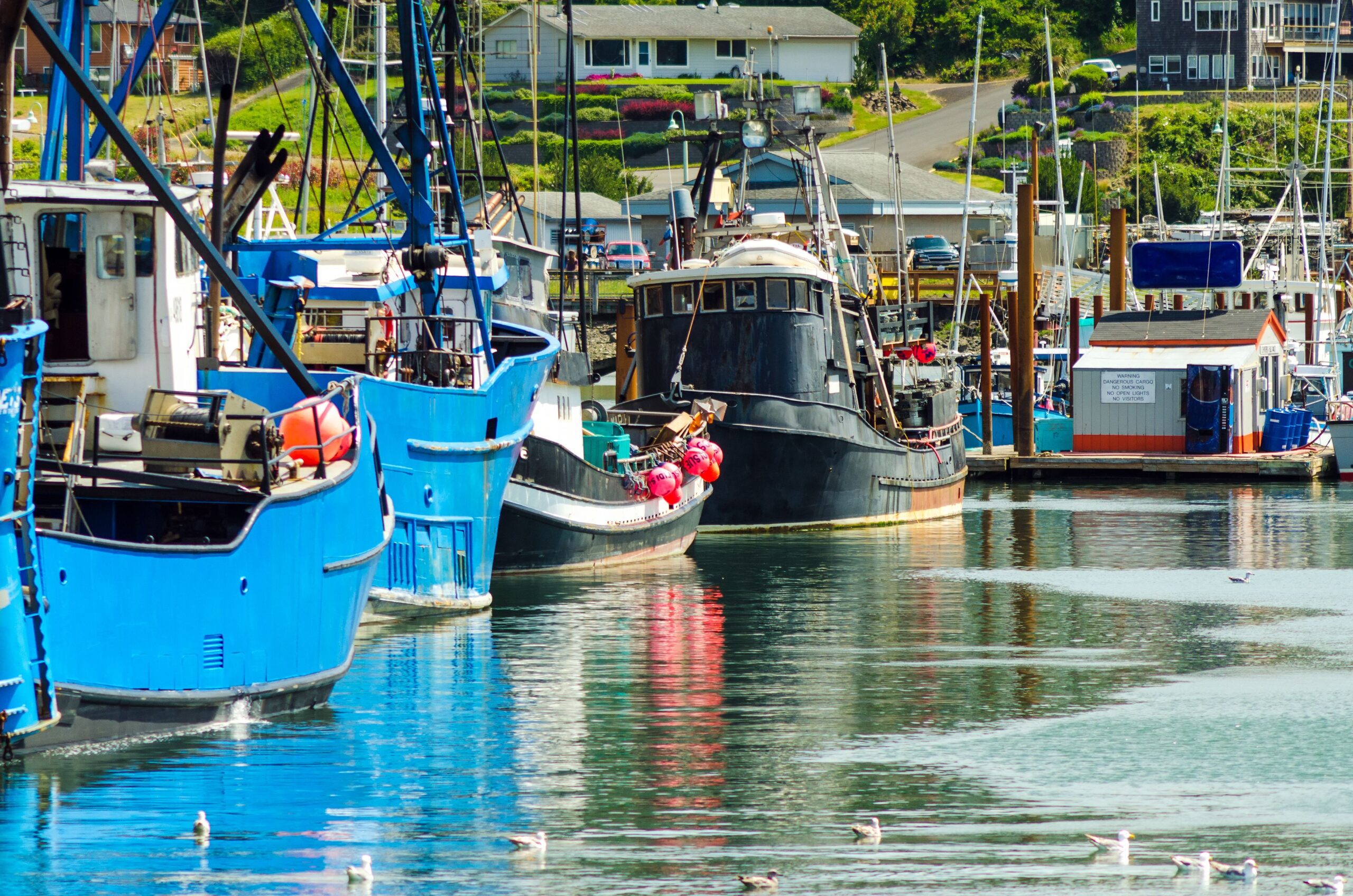
Despite its size, this harbour is quite busy, always crowded:
- dozens of vessels offer fishing and crabbing tours, both for local residents and for tourists;
- boat owners of various sizes conduct whale-watching excursions and offer sightseeing tours.
Commercial vessels and a huge number of pleasure boats are permanently based in the harbour.
Furthermore, Depoe Bay harbour is a recipient of the Oregon Clean Marina Programme award. This is a voluntary programme that recognises those who actively implement modern methods and approaches to management and water quality improvement with the aim of creating a clean marine environment in Oregon.
History of the Harbour
Depoe Bay is the world’s smallest natural navigable harbour, measuring approximately 6 acres. Here is a winding channel, 50 feet wide and 100 feet long. This channel is surrounded by rocks and flows into the Pacific Ocean. Two freshwater streams flow into the harbour, which differ from each other:
- North Depoe Creek flows into the north-eastern part of the bay. Characterised by a rocky bottom and fast current.
- South Depoe Creek flows into the south-eastern part. Characterised by a sandy bottom and slow current.
Initially, the inner part of the bay was shallow, here was a beach area (on the eastern side), which was surrounded by cedar forest. During high tide, boats would sail, dropping anchor in the bay, and at low tide – they would settle on the bottom.
In 1937, Congress began construction of the inner part of the bay, which was completed in 1939. At that time, the harbour was 375 feet long, 125 feet wide, and 5 feet deep.
The main breakwater was built in 1941, and the State of Oregon allocated money for construction. From 1920 to 1927, construction of a bridge across Depoe Bay was planned, and the outstanding Oregon State bridge builder Conde B. McCullough was responsible for creating the project. He was responsible for creating all future bridge projects in Oregon State along Highway 101 in the 1920s. The width of the bridge across Depoe Bay was 18 feet.
From 1950 to 1952, planned reconstruction took place, and therefore the harbour was closed. As a result of the work carried out, a temporary dam was built across the mouth of the channel in order to prevent ocean water from penetrating the bay. With the help of drainage channels, it was possible to redirect water from North Depoe Bay and South Depoe Bay creeks into the ocean. The water in the bay was pumped out, and the harbour dimensions changed again: length increased to 750 feet, width – to 390 feet, and depth – to 8 feet. A retaining dam was installed along the entire eastern side. But shortly before project completion, during high tide, destruction of the southern side of the dam occurred, which led to flooding of the bay. Despite this, all construction equipment was successfully removed from the bay bottom, and therefore this event did not lead to serious consequences.
The US Army Corps of Engineers in 1963 decided to widen the 150-foot channel: from 30 to 40 feet, additionally increasing the depth to 8 feet at mean low tide.
In 1966, the length of the breakwater was changed, becoming even larger, and on the northern side of the channel an additional new breakwater was installed. In the autumn of that same year, during high tide, the vessel “Omar” entered Depoe Bay harbour, which entered history as the largest vessel that had ever entered this harbour. Its weight was 33 tonnes, length 70 feet, width 18 feet, and draught 9 feet.
In 1995, new docks were built in the harbour along with a boat launch. For several years, the harbour was part of the Newport Port District, however in 1975 the Port of Newport transferred it to the city, which became one of the important events for the entire community.